Well, I’d planned to have another sunset-glowing mustang for today’s post, but that had to be postponed for the below post. I’ll try to update the amount of rain, but as of about 3:30 p.m. Thursday, we’d gotten at least 1.97 inches. For those of you in rain-rich areas, that’s, like, potentially MONTHS worth of rain here in Disappointment Valley, Colorado.
There’s not a lot of sky color in the below pix, but there’s some gold in the way of cottonwoods more yellow than they were a few days ago.
Try to imagine the NOISE of an immense amount of water rockin’ and rollin’ and bustin’ its banks, and enjoy! (Oh, and while I was starting to process pix, um, we got some color …! 🙂 *wait till the end*!)
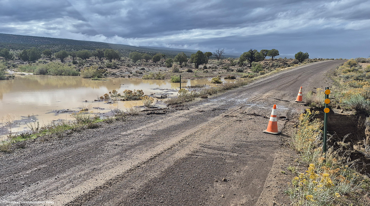
Well, THIS is interesting. I came from the west, which is the direction I’m looking in this pic; I drove past the bad place and walked back. So on the left/south is a pond that’s not usually there (!). And on the right/north, the continuation of the drainage – much deeper/broader/bigger – down to Disappointment Creek. If you’re paying attention from last time, that might confuse you, when the creek was south of the road. At this part of the valley, it has crossed under the road a bit up-valley of this location, and now it’s running west, north of Disappointment Road, which, here, runs northwest-to-southeast (or vice versa). The road eventually runs straight north to the highway, and Disappointment Creek runs under it again. If that’s completely confusing, well … here’s the map of Spring Creek Basin, which shows the area around it, but I’m not sure it’ll be more helpful?
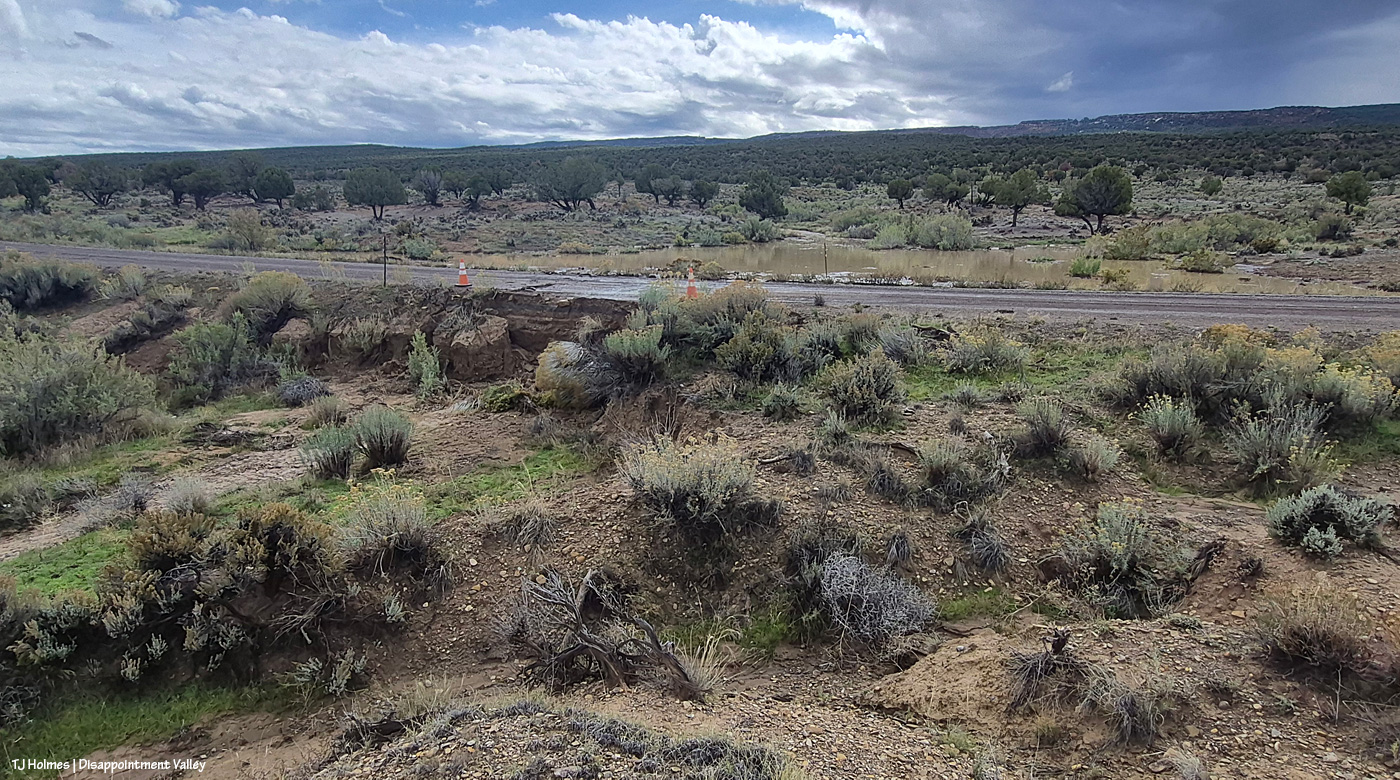
Now I’m at the fenceline, trying to get a bit higher for a better overall view, looking south.
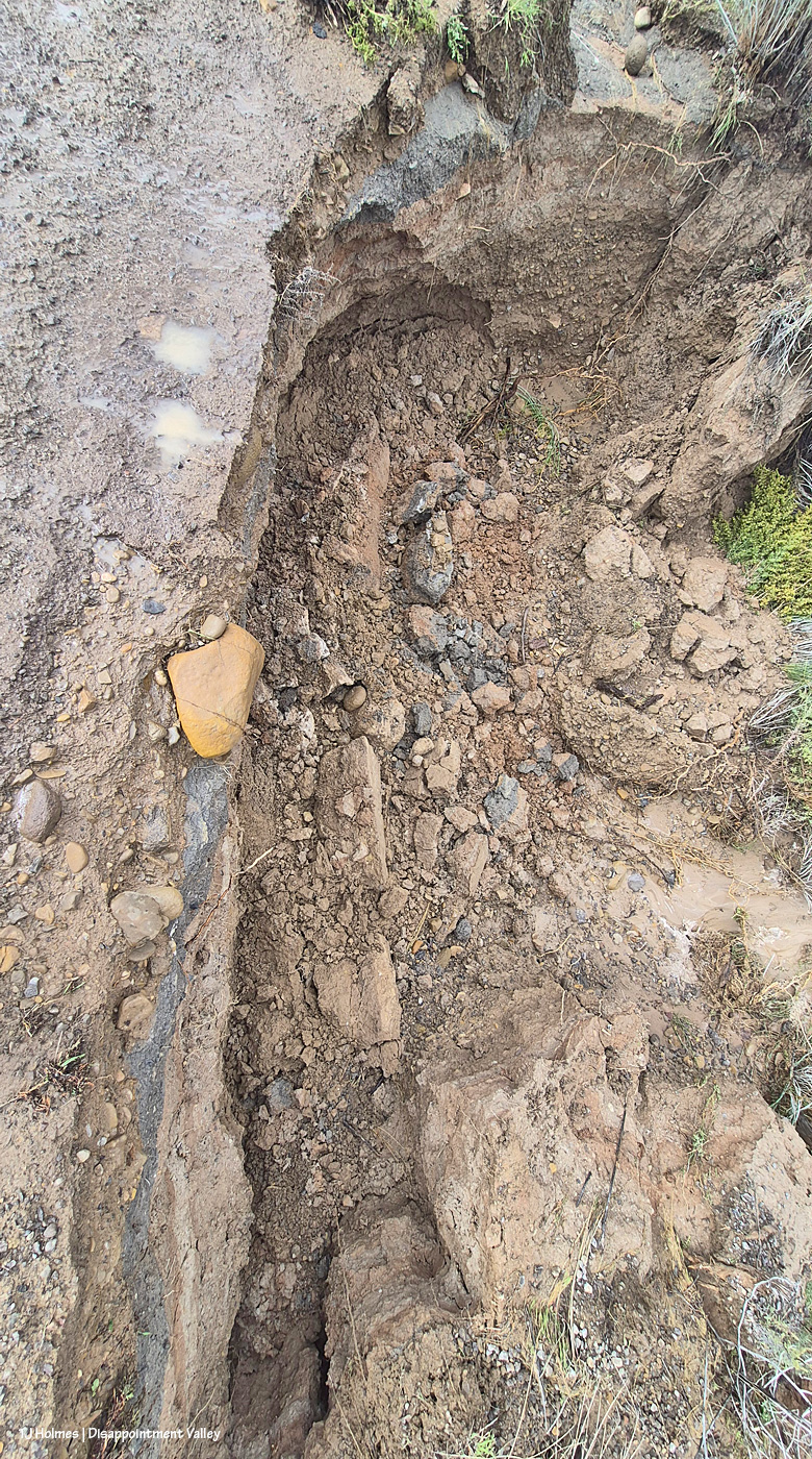
The road is wet and actively crumbling (this was probably around 2:30 p.m.). See the orange rock at left? It’s just on the edge of the road.
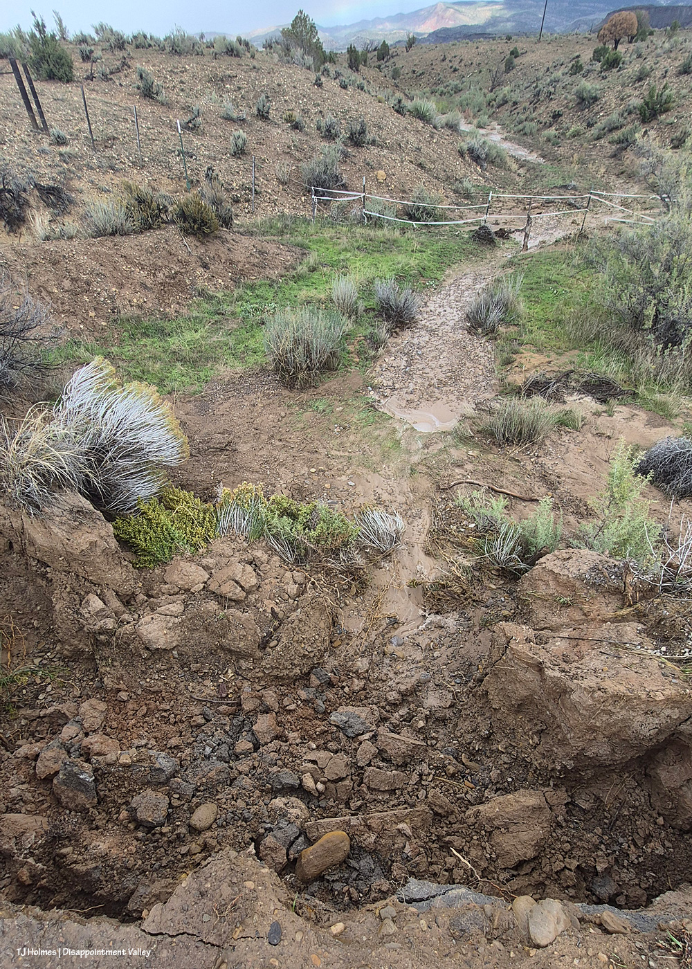
See the rock at bottom center? That’s the same rock, about 10 minutes later, down in the bottom of the hole after it slipped off the road from the water-caused crumbling.
If you’re driving in/out/up/down Disappointment Valley, take more than the usual care! For locals, this is maybe almost to the 9 mile marker.
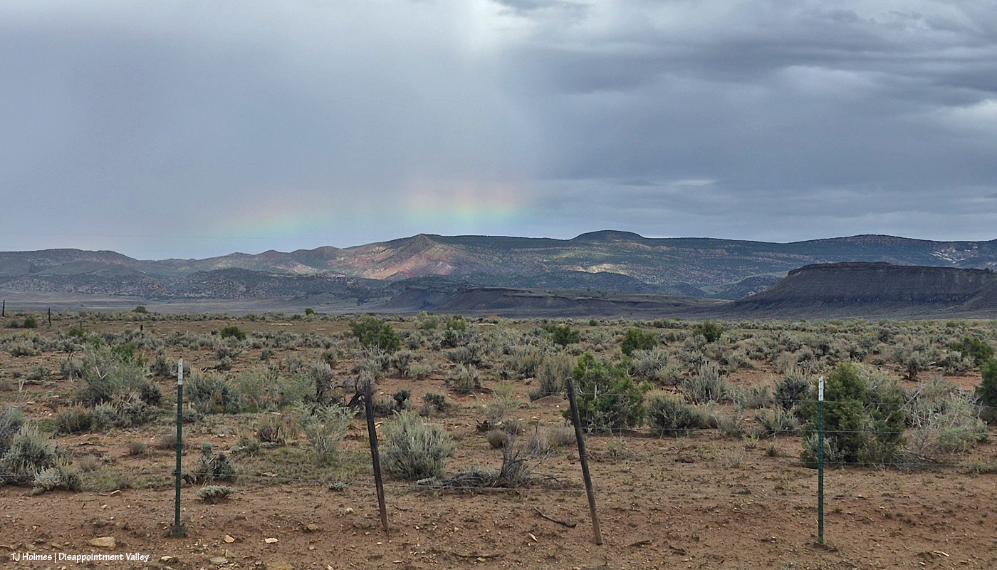
Just as I was driving on up-valley, then, that little bright bit of loveliness caught my eye. Have you ever seen such a low bow?
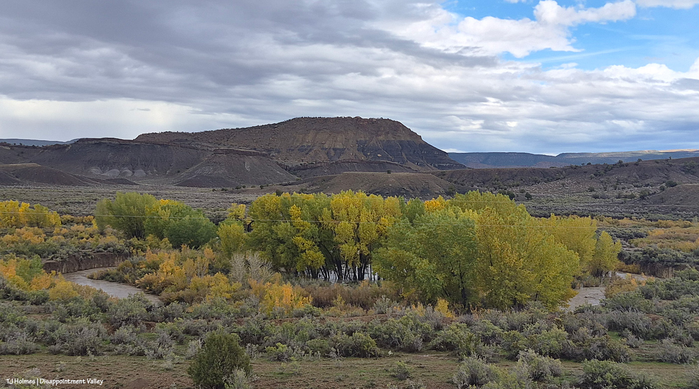
Usually, Disappointment Creek makes a big half-circle around that stand of cottonwoods. Usually, the cottonwoods are not standing in water (floodwater or otherwise). Usually, there’s no water in the creek bed. Usually, even if there IS water, you can barely see it from the road. THAT is a lotta water, my friends. It’s flowing downstream from right (southeast) to left (northwest).
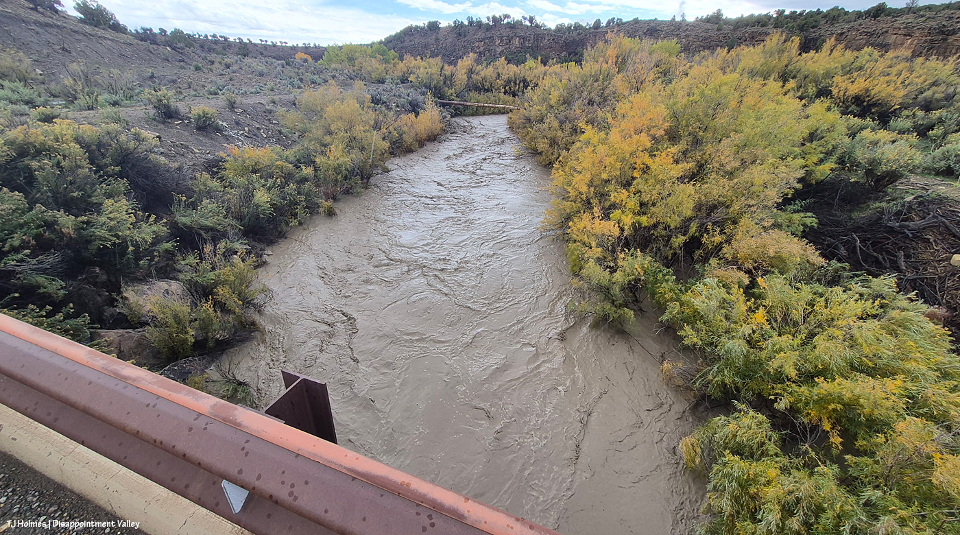
Holy moly high water. This is looking upstream – the water is flowing toward me as I stand on the road/bridge looking south. The water is WAY above and wider than its usual banks. That’s also BLM land.
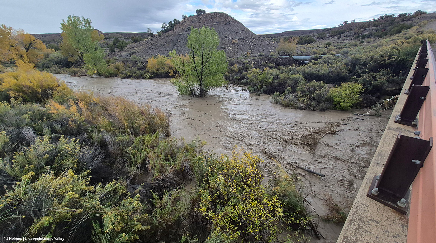
And on the north side of the bridge, the water is, well, rollin’ like a rollickin’ river. I’m actually looking eastish/northeastish, and the basin is the farthest land you can see on the other side of that weird knobby hill above/behind the green cottonwoods. Here, though, the creek is running into private property. That clump of green cottonwoods in the middle of the pic is NOT usually in the middle of the creek. It’s not usually in the creek bed at all. The half-moon thing at right, under the bridge, is the very sad “water-gap fence.” A friend and I fixed it a year or so ago, and it was in good shape then. … I think it’s gonna need some more work. 🙂
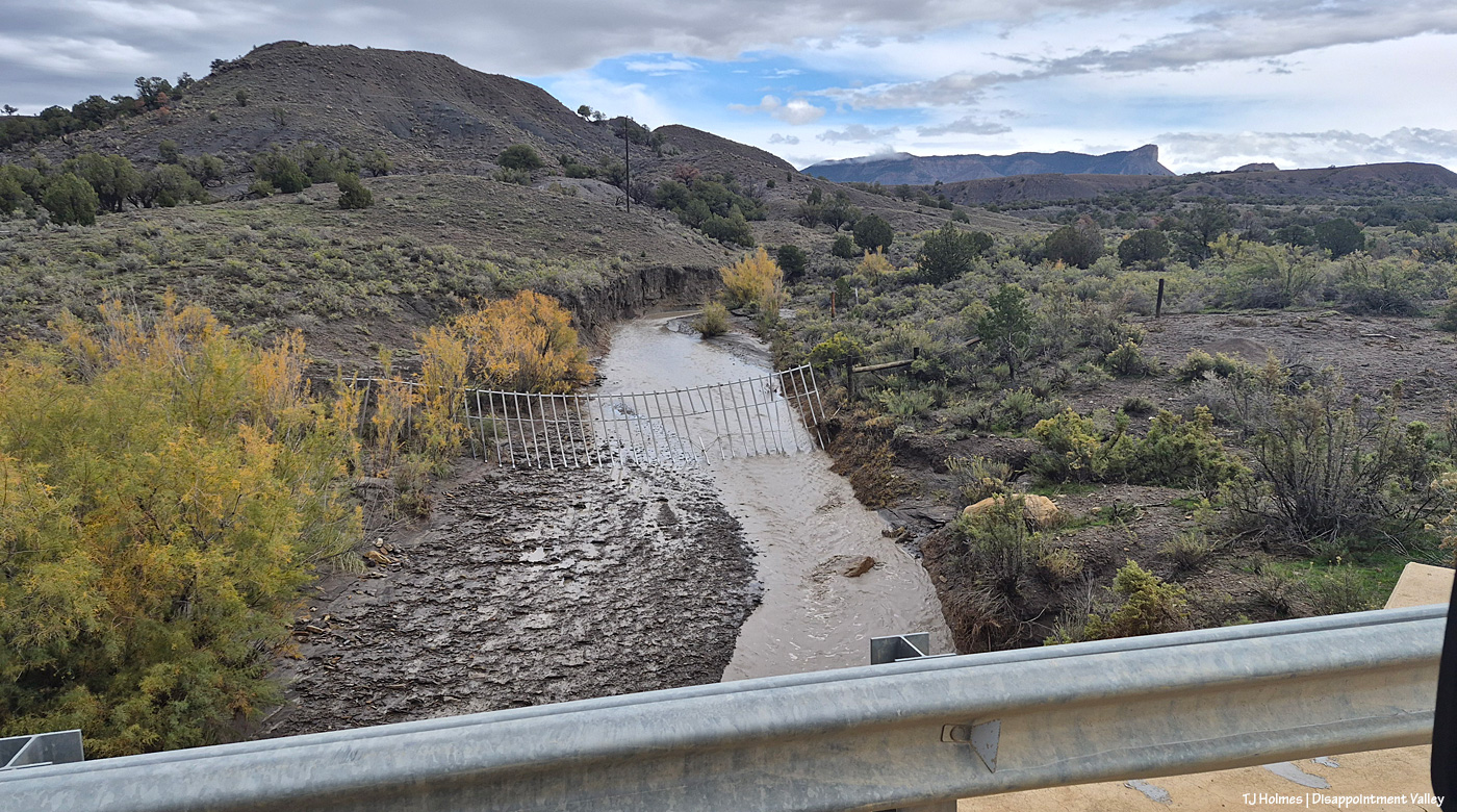
Continuing up-valley, beyond that fence is Spring Creek Basin, and the arroyo is what I call the county-line drainage. The road is going southeast here, so although the county line between Dolores County (south) and San Miguel County (north) is east-west, it doesn’t cross the road that neatly. In any case, water from this arroyo flows straight into Disappointment Creek, which is behind me, south of Disappointment Road here. Disappointment Creek does NOT flow through Spring Creek Basin at all. And that’s what a fairly decent water gap is supposed to look like (minus the broken piece of PVC in the middle). The idea is that the poles flow with the force of water but discourage cows from getting through into the basin (or horses from getting out). I will tell you that it works much better on the horses than it does on cows.
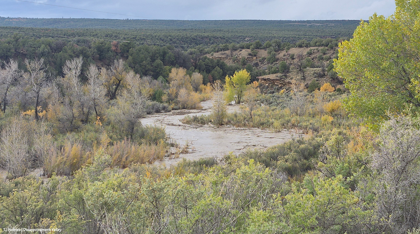
Disappointment Creek just absolutely flooding, running downstream. This is on the south side of the road looking southish … maybe a bit southwestish.
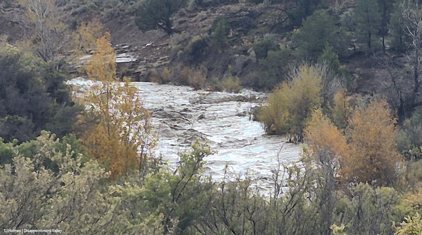
I’m in about the same place for this one, but now looking upstream to the left (water flowing toward me). Zoomed in, which is the reason for the painterly look. But just look at those waves! Big rocks under that water.
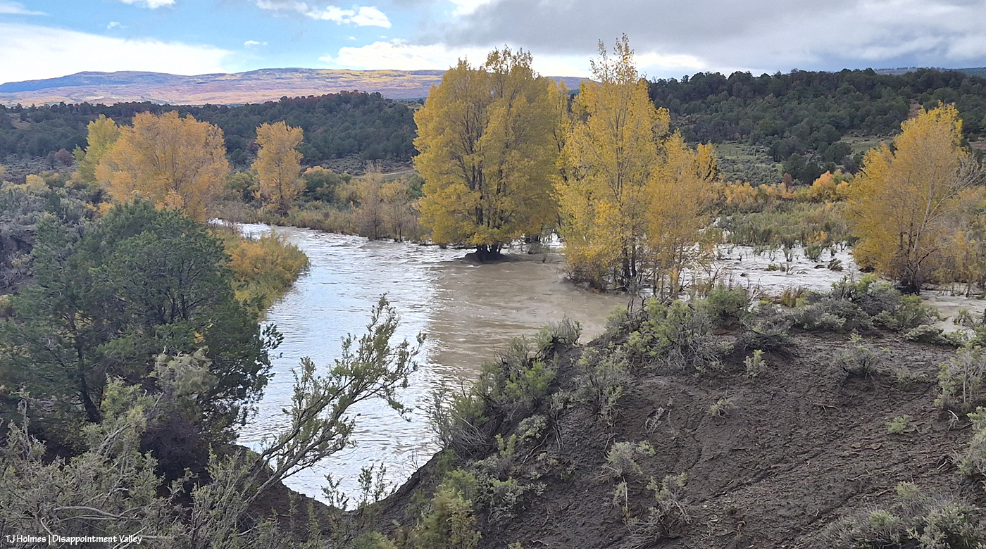
Do the trees look more gold? This was just three days after the pix from the big photo post. And look way out yonder to the Glade. 🙂 Gorgeous (that gold is aspen).
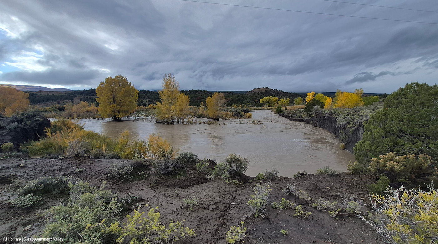
No, that’s not a pond. 🙂 A pic from just about this same spot was in that earlier post. Wow.
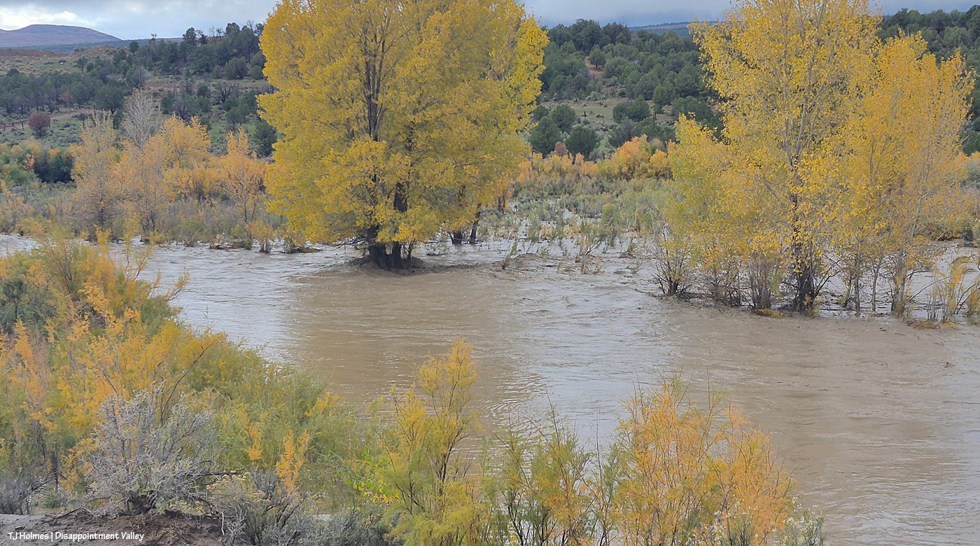
I hope those cottonwoods are taking up a lotta, lotta water through their big ol’ deep roots.
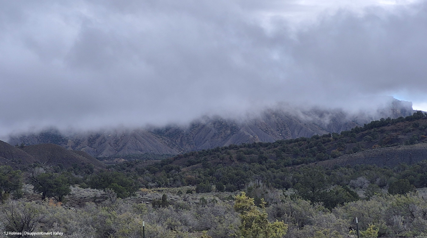
And just a little bit later, I was up at Black Snag Road again. Do you wonder about this pic? Well, um, Temple Butte is there … in that CLOUD. There’s a pic from this spot (basically) in the earlier post, too, with Temple Butte glowing golden in sunlight.
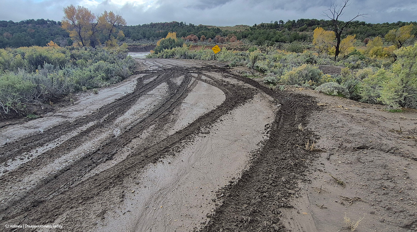
Oooopsie. Important note: THOSE ARE NOT MY TRACKS. I’m not that crazy. 🙂 Disappointment Road isn’t too far behind me; ahead of me … do you see the creek already?
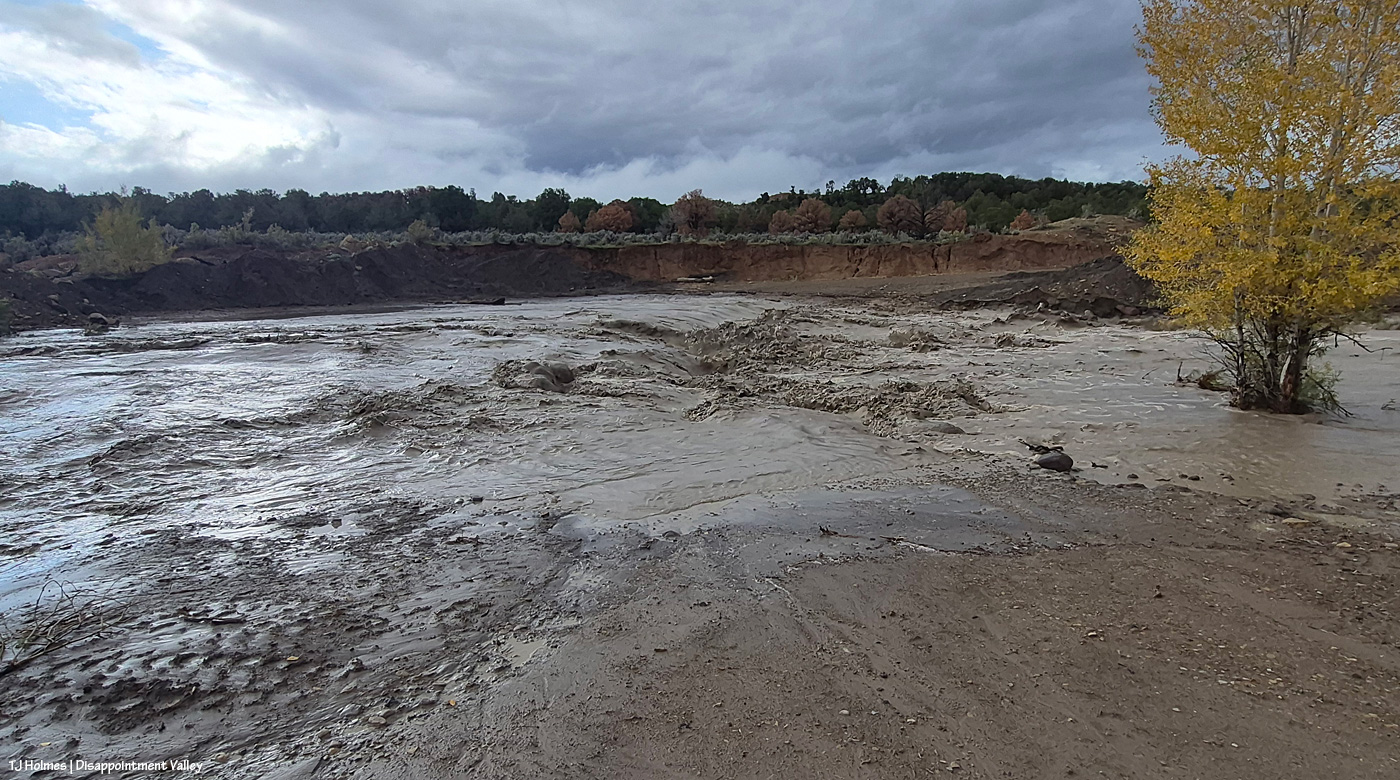
Remember what this looked like before? It’s really hard to convey the scope of the water in a still image. Remember the pile of dark dirt? Yeah, that’s gone.
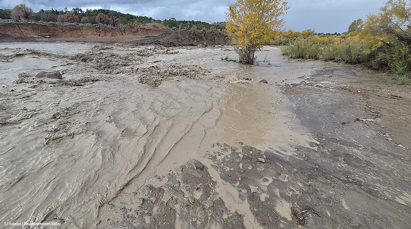
Remember the rocks? I’m sort of astonished that they’re still there. … But I think you can tell that the road is basically now gone. But look across the creek (I mean river) at the darkish dirt – see the erosion? That’s from THIS recent flooding. The road goes up between the red-dirt bank and that darker dirt.
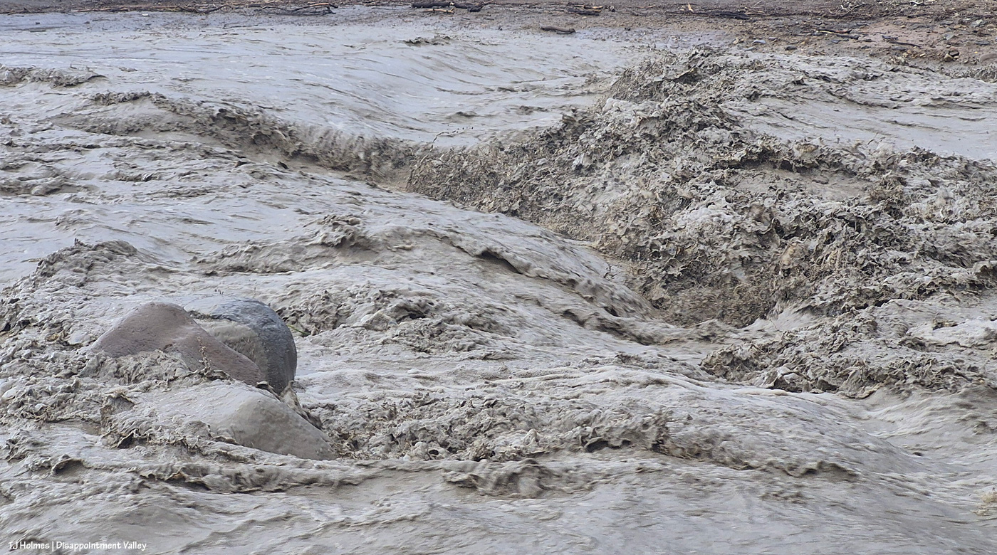
Rock ‘n roll.
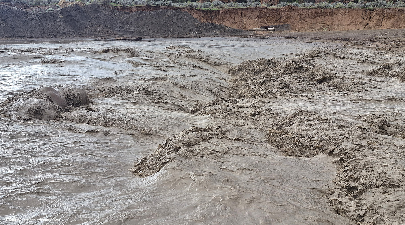
You can see the erosion damage at the far side of the creek (river) better here at upper right. That is not going to be pretty when the waters recede. Pretty awe-inspiring currently!
I’d left the truck at Disappointment Road. Again, I was NOT going to risk getting stuck in the mud, so I didn’t drive down there; I walked! Then headed back down-valley, where I already knew I’d be driving back into the next wave of rain.
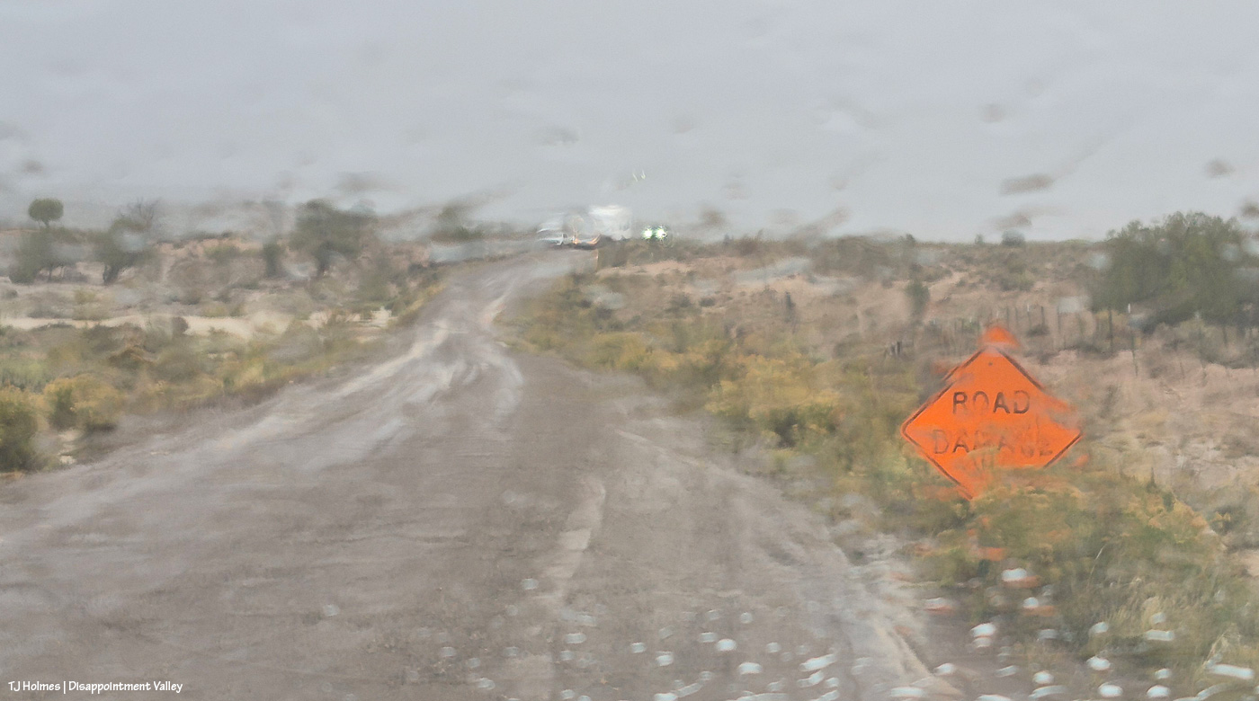
Painterly effect now caused by rain on the windshield between wipes. The road damage from the beginning of this post is between me and the oncoming vehicles. The folks in one truck came out Tuesday, when the road was dry. … Family members were hauling the camper and following, and they were consulting about the narrowed road. They didn’t have any trouble driving past the area, but I can’t help but wonder how they fared trying to park the camper farther up-valley.
And that was it. … Or was it.
You know that saying about the fat lady? I wouldn’t presume to know Mother Nature’s proportions, but Mama sings loudest and last. 🙂
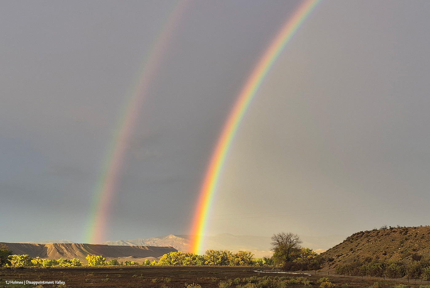
Yes. She. DID!
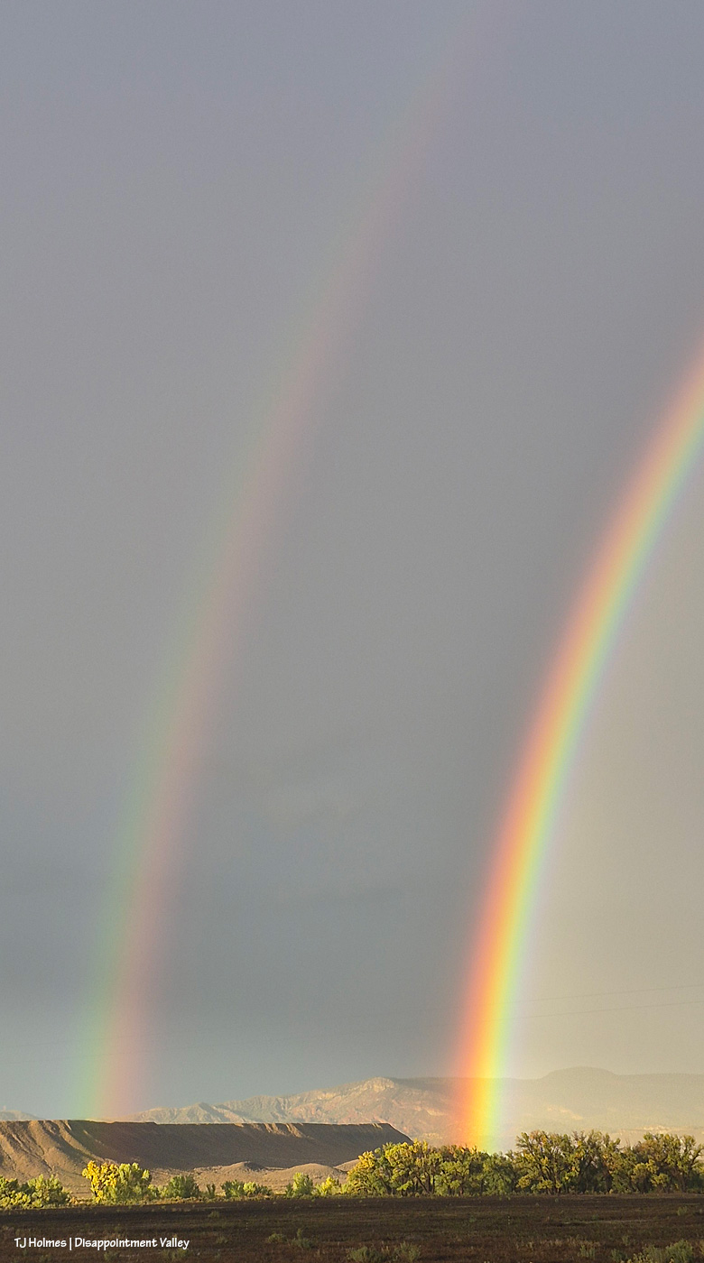
Sing, Lady, sing.
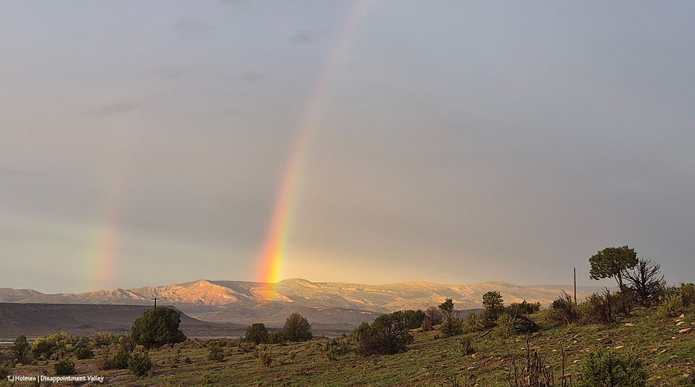
I can’t make this up, and I wouldn’t know how to make it AI if you paid or threatened me.
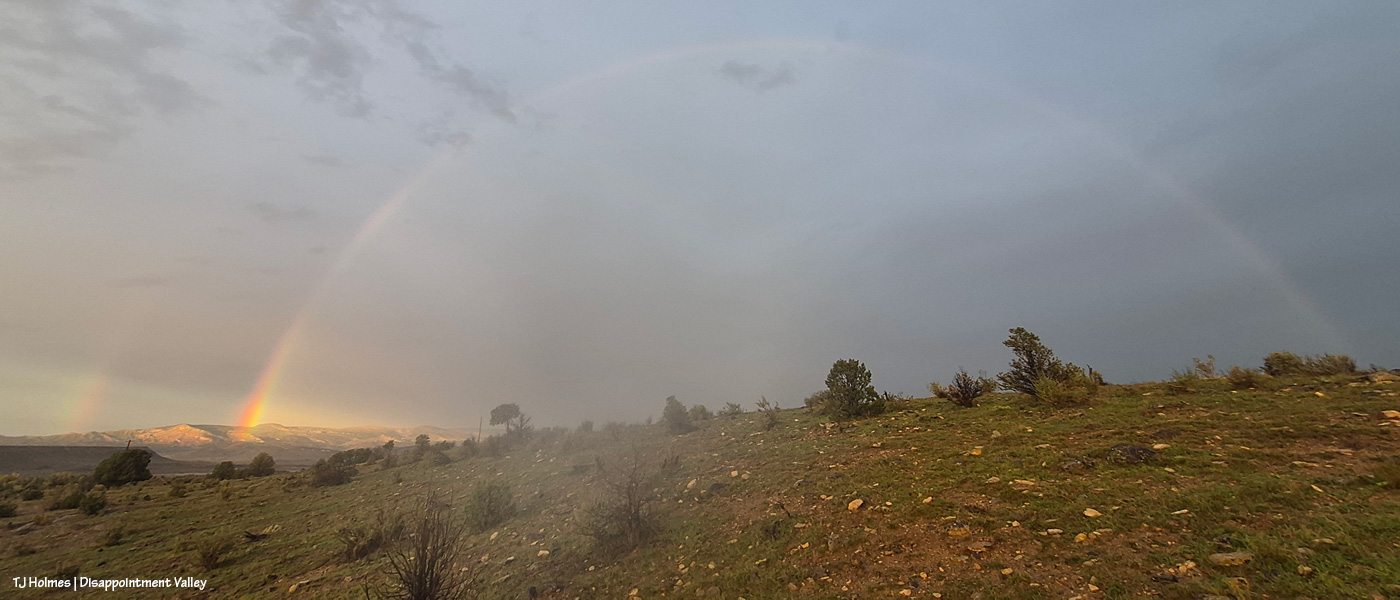
Love. 🙂
I don’t know the final tally as of about 9:30 p.m., but as of about sunset (which was the above!), we were sitting at about 2.36 inches of rain since about 8 a.m. Wednesday, when it started. It is soggy. It is sloppy. It is saturated. Travel is NOT easy (or particularly recommended).
It. Is. SPECTACULAR. 🙂


Leave a Reply